|
|
|
|
|
|
|


|
|
And no place is more accessible - Carnegie is located just six miles from downtown Pittsburgh at the intersection of Interstates 279 and 79 and links with communities to the south by Route 50 and to the east and west by Noblestown Road. So, truly, all roads do lead to Carnegie! It's a reminder that Carnegie was the hub for many small rural communities whose residents came for worship, health care, shopping and selling. Some farmers trucked produce to town on weekends to sell to shops, restaurants and individuals.
|
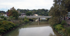
Because Chartiers Creek was a navigable waterway for many millennia, native Americans were known to camp here in the summers, hunting on the lush hillsides, then canoeing the "Catfish Path" to the Ohio River to their winter camping grounds in Ohio. As soon as European settlers made it to the point of the three rivers in Pittsburgh, they began exploring Chartiers Creek, building settlements and trading posts, one of which was on the flood plain at the oxbow of the creek that later became Carnegie. The early history of Carnegie Borough echoes in the street names: Mansfield, Chartiers, Cubbage, Bell, Sarah, and Doolittle. The neighborhoods organized so long ago still criss-cross the hills and surround the town center on Main Street: Cubbage Hill, Rosslyn Heights, Library Hill, and Irishtown.
|
Carnegie got his millions when he sold Carnegie Steel, which became Superior Steel Company, the largest industrial employer in Carnegie. Superior was joined by, at one time, five other steel plants that produced every variety of basic and specialty steel products used in manufacturing plants all over the United States. Every new nationality to land and settle in Carnegie filled the mills as their families filled Carnegie's neighborhoods.
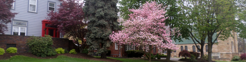
The downtown area on and about Main Street hosts shops and small offices in the small-town style of storefronts along the street with living space or businesses on the second or third floors. Many of the large stately houses along Washington Avenue have been gentrified into offices, but maintain the look and feel of the family homes they once were. To complement the small to medium businesses, Carnegie Office Park is at the Rosslyn Farms exit of the Parkway with six multi-story buildings and an extended stay hotel for business travelers. |


|
|
|